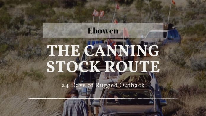
The Canning Stock Route passes through some of the most remote and isolated countries in the world. Built-in 1910 to break the West Kimberley beef monopoly, the route begins in Halls Creek and extends to Wiluna in the mid-west, a distance of over 1800kms.
Australias Canning stock route is incredibly beautiful with freshwater springs creating oases in the middle of nowhere. Other areas are home to narrow gorges, sheer cliffs, ancient Aboriginal art sites, and engravings of explorers and drovers. Very few people ever get to see this unique part of Australia. If you’re interested in being one of them, make sure it’s with Outback Spirit.
Travel Times and Track Conditions
It’s best to avoid the route in the summer months because of high temperatures. The heat poses additional risks to vehicles and travelers in desert countries. There are also fewer people on the road in summer so if you need assistance a tagalong 4wd tour is the most sensible option you could be waiting much longer for a passing vehicle. Summer is also the wet season in northern Australia so after heavy rain, the track can turn into a quagmire. Always check on road conditions before setting out in these parts.
While traveling in winter means pleasant daytime temperatures in the teens and early 20s, nighttime temperatures can be in the single digits and drop as low as zero. Be prepared with plenty of warm clothing and bedding.
While the track is predominantly sand, there are rocky sections, washouts, and an incredible 900 dunes to navigate over. Because of the high dunes, all vehicles on the track are required to use a sand flag. The flag warns of oncoming traffic before the vehicle is in view. A further safety precaution is to use Channel 40 to warn other travelers when you are approaching a high dune.
Driving Experience
You will need plenty of 4WD experience under your belt before tackling the Canning Stock Route. Your vehicle needs to be able to handle the harsh conditions, constant dunes, and long-distance. It’s best to do the track in convoy with at least one other vehicle so you can help each other out with recovery if needed.
You need to be able to cope with constant corrugations on the track. They can be deep, bone-shaking corrugations that last all day. Most West Australians would rather sit in cafes than tackling it, some travelers spend the day driving with the speedometer under 30km/h driving up dunes is less bumpy than the trip down the other side. Reducing the car’s tire pressure helps get over the dunes and soft sand patches.
Permits
You won’t stay on the historic canning stock route throughout your entire trip. There are times when you need to leave the original track and take 4WD tracks through native title land. The track runs through 5 native title areas, Tjurabalan, Martu, Birriliburu, and Wiluna. Some parts of the track require travel permits. For sections between wells 5 and 15 and 40 to 51, you obtain permits via the Canning Stock Route Visitor Permit System.
If you are traveling between wells 16 to 39, the Australian National Four Wheel Drive Council has permits for this area. The permits give you information on where you can travel and which wells you can visit.
If you are staying overnight on the nearby Tanami Track on your way to Canning, you may need a permit here as most of this land is owned by its traditional owners, too. The permit funds are used to maintain the route as well as the protection of the environmental, cultural, and heritage values of the area.
Fuel, Water, and Supplies
Supplies along the Canning Stock Route are limited so planning is vital. It’s recommended to make an inventory list of supplies to be well prepared. Before traveling you should contact the local visitor center for up-to-date track information and weather conditions.
Fuel
The fuel dump at Well 23 is organized by the Capricorn Roadhouse at Newman. Kunawarriji, 1,040 km from Wiluna, has fuel, water, and a well-stocked shop to refill supplies. Take a jiggler to get fuel out of the drums and into your vehicle. The Parngurr community, 70 km from the Georgia Bore on the Talawana Track, also has fuel.
Supplies
While it’s best to take enough food to last the trip, there are shops along the way. If you are driving south to north, do your main shop at Kalgoorlie as the Wiluna shop is small. The Kunawarriji community has a small shop with fresh produce, the remote Billiluna community is the same while Halls Creek and Fitzroy Crossing have supermarkets.
You can find some passing traffic along the track, but it is a good idea to travel with a satellite phone or a personal beacon just in case you need emergency assistance. Don’t rely on passers-by, you should have your recovery gear and know how to use it.
Wells
The condition of the 51 wells varies greatly from one well to the next. Some wells are in ruins and are dry or muddy holes while others are running water oases that can be used for showering and washing. Some of these wells have been renovated in recent years with a winch and bucket. If you intend to use well water for cooking or drinking, always boil first. Some wells have nearby toilets, fire pits, big shady eucalyptus trees and grass for camping and others have no facilities.
Best Time To Drive
Travel on the Canning Stock Route should only be undertaken during the cooler months, between April and September, and in a well-organized convoy.


